11 Best Hikes in Yosemite National Park - Inn at Sugar Pine Ranch
Yosemite is a hiker’s park. With over 800 miles of trails, chances are you don’t have time to hike them all. So how do you narrow it down to the best hikes available?
You can hardly choose a bad trail in Yosemite. There are so many incredible trails that we found it too difficult to choose the 10 best - that’s why there are 11. Even still, the choice was tough. But if you’re looking for the best hikes in Yosemite, these are the best of the best (in no particular order). Whether you’re an experienced hiker or a beginner, heading out for the whole day or just a couple of hours, you’ll find something just right for you.
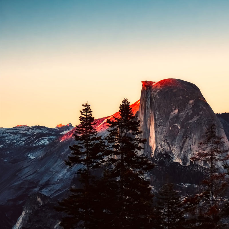
The Panorama Trail
- Length: 14.6 miles (7-10 hours)
- Elevation gain: 4,183 ft
- Level of Difficulty: Challenging
- Region of the Park / Trailhead: Yosemite Valley / Vernal-Nevada Falls trailhead
Hiking the Panorama Trail is a long day, but if you’re up for the challenge, you won’t regret it. This route incorporates the Mist Trail (see number 5) and a section of the John Muir Trail. You’ll see many beautiful waterfalls, including Vernal Falls, Nevada Falls, and Illilouette Falls. Climb up to Glacier Point (7,214 ft / 2,199 m) for incredible views, then descent through the lush forest with great view of both the Upper and Lower Yosemite Falls.
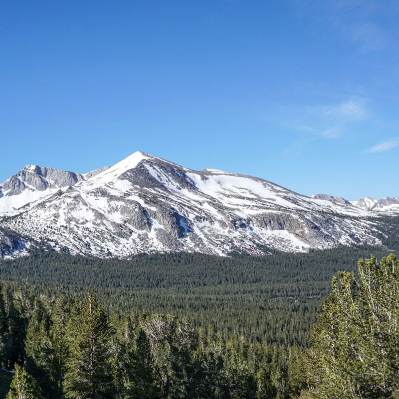
Mount Dana
- Length: 5.3 miles (4-6 hours)
- Elevation gain: 3,084 ft.
- Level of Difficulty: Moderate - Challenging
- Region of the Park / Trailhead: Tioga Road near the eastern park entrance
Take this unofficial path to reach the summit of Mount Dana, the second highest peak in Yosemite National Park! Choose your route wisely around snowfields and follow the cairns to find the peak with its incredible views. If you love the adventure of choosing your own path and a little bit of scrambling to reach an amazing peak, this hike is for you!
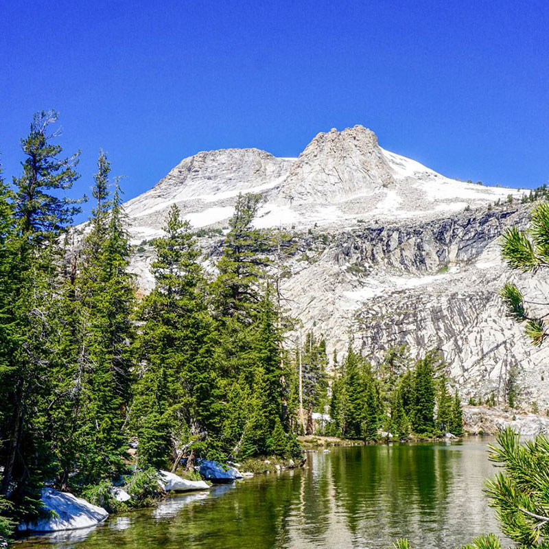
Mount Hoffman
- Length: 6.5 miles (4-7 hours)
- Elevation gain: 2,067 ft.
- Level of Difficulty: Moderate - Challenging
- Region of the Park / Trailhead: at the end of May Lake Rd.
Hike to the peak of Mount Hoffman, the place that John Muir claimed was the finest view in all of Yosemite. That’s saying a lot! You’ll cross rivers, explore ridges, and come to a plateau that offers a view of the whole park, before eventually reaching the peak of Mount Hoffman (10,856 ft / 3,309 m).
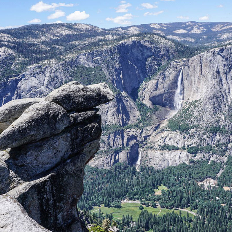
- Length: 2.9 miles (1-2 hours)
- Elevation gain: 804 ft.
- Level of Difficulty: Easy - Moderate
- Region of the Park / Trailhead: Glacier Point Road / Sentinel Dome trailhead
Take this unofficial path to reach the summit of Mount Dana, the second highest peak in Yosemite National Park! Choose your route wisely around snowfields and follow the cairns to find the peak with its incredible views. If you love the adventure of choosing your own path and a little bit of scrambling to reach an amazing peak, this hike is for you!
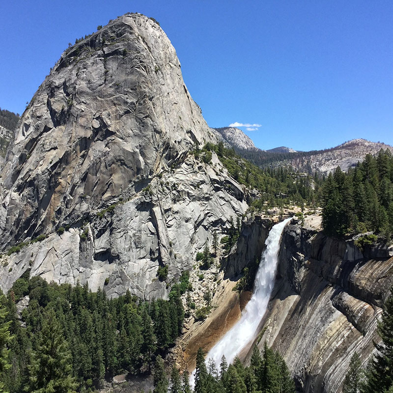
The Mist Trail
- Length: 8.4 miles (3-6 hours)
- Elevation gain: 2,247 ft.
- Level of Difficulty: Moderate
- Region of the Park / Trailhead: Yosemite Valley / Happy Isle trailhead
Don’t be satisfied with breathtaking waterfall views. Hike the Mist Trail where you can not only see the spectacular Vernal Falls, but get close enough to walk in its mist. If the water levels are high, it may turn out to be a drenching shower. Continue on past Vernal Falls to reach the lovely Nevada Falls. This hike can easily be adapted to any length and still be highly rewarding!
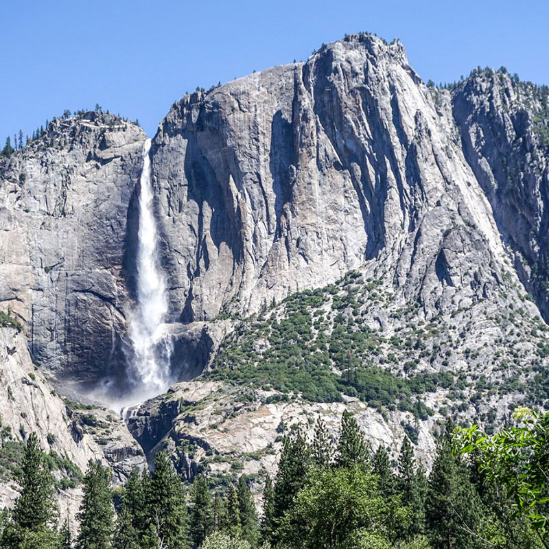
Yosemite Valley
- Length: 7.2 miles (1-6 hours)
- Elevation gain: 164 ft.
- Level of Difficulty: Easy
- Region of the Park / Trailhead: Yosemite Valley / Yosemite Falls trailhead
The iconic Yosemite hike through the glorious Yosemite Valley. Experience the splendor of the mountains and surround yourself with amazing scenery. The wide, flat Valley Floor Loop Trail is suitable for all ages and abilities and gives you great views of the Lower Yosemite Falls, El Capitan, and Half Dome reflected in the Merced River. Whether you walk the whole loop or choose a shorter section, this trail makes the Yosemite experience accessible to everyone!
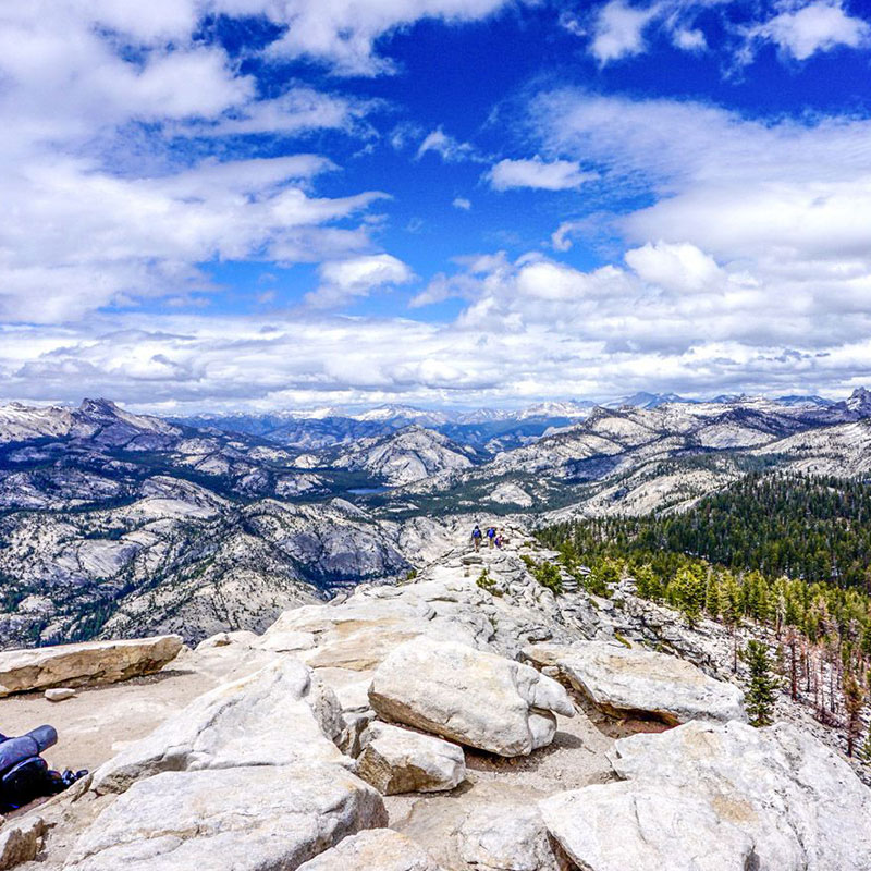
Clouds Rest
- Length: 12.6 miles (7-9 hours)
- Elevation gain: 3,035 ft.
- Level of Difficulty: Moderate - Challenging
- Region of the Park / Trailhead: Tenaya Lake
For a little bit of a challenge that rewards you with truly stunning views, don’t miss the hike to Clouds Rest. Cross streams and ascend steep trails with enough of a drop-off to keep things exciting. At the top, plan time to stop and take in the Yosemite Valley as it stretches out before you, as well as clear views of Half Dome.
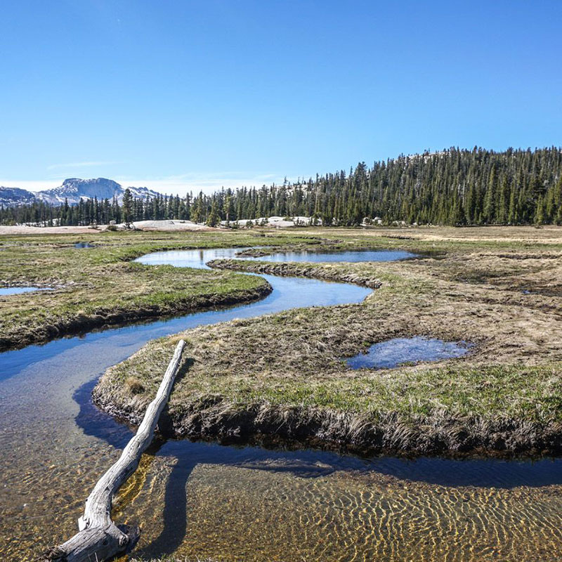
Cathedral Lakes
- Length: 7.3 miles (3-5 hours)
- Elevation gain: 1,299 ft.
- Level of Difficulty: Moderate
- Region of the Park / Trailhead: Tuolumne Meadows / Cathedral Lakes trailhead
Ascend slowly through the trees, passing ponds and catching glimpses of mountains peeking through the trees. Cross small streams and wind around canals and marshland as you get closer to the lake. You’ll probably want to spend the whole day enjoying the gorgeous lake and its rocky shores.
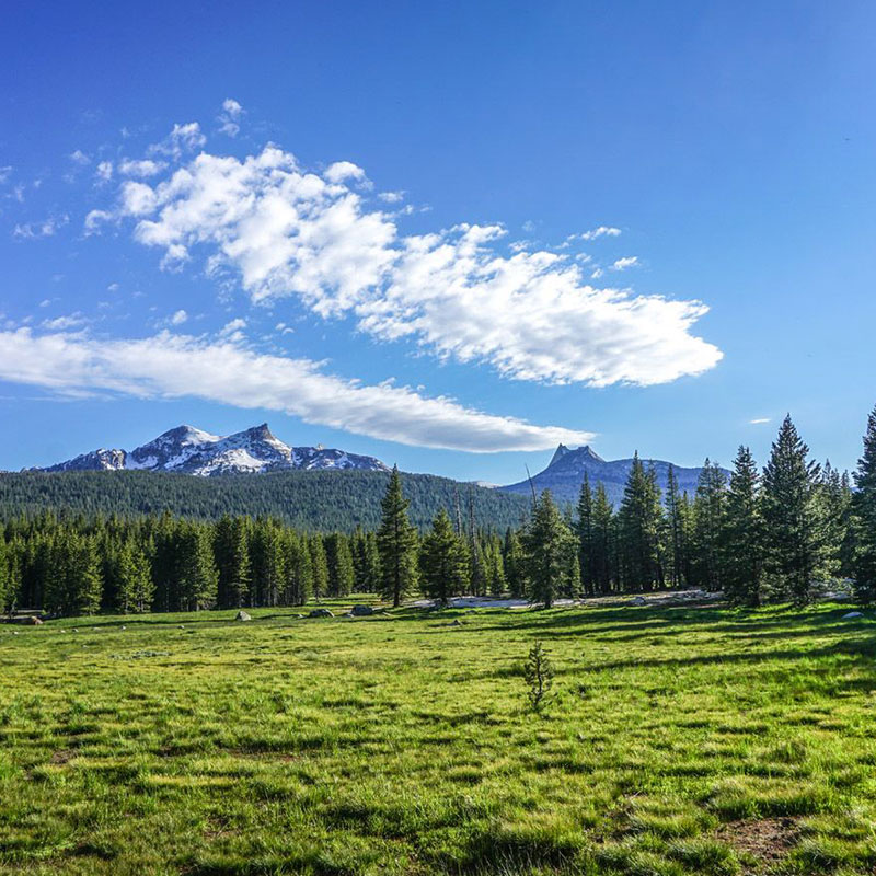
Lembert Dome
- Length: 4.0 miles (1-3 hours)
- Elevation gain: 935 ft.
- Level of Difficulty: Easy - Moderate
- Region of the Park / Trailhead: Tuolumne Meadows / Lembert Dome trailhead
The Lembert Dome trail is the best way to get to a summit in Yosemite with the least amount of time and effort. A beautiful trail that starts in meadows and forests with some simple stream crossings, leading to a steeper section of bare granite. Lembert Dome offers a great view of the northern Yosemite region, especially at sunset!
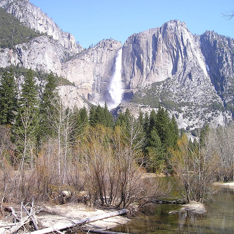
Yosemite Falls
- Length: 6.0 miles (3-5 hours)
- Elevation gain: 1,903 ft.
- Level of Difficulty: Moderate
- Region of the Park / Trailhead: Yosemite Valley / Yosemite Falls trailhead
This trail takes you to the top of Yosemite Falls, but remember that the best views of the falls are not from the top! You’ll find the best views on this trail about 1.2 miles from the trailhead, so if you’re short on time, there’s no need to go all the way on this trail. Stop to see the Lower Yosemite Falls and a great view of Half Dome. Continue on a little farther for inspiring views of the Upper Falls from the bottom.

The Half Dome
- Length: 14-16 miles (10-12 hours)
- Elevation gain: 4,800 ft.
- Level of Difficulty: Challenging
- Region of the Park / Trailhead: Yosemite Valley / Happy Isles
Not for the faint of heart, the Half Dome is the dream hike for many hikers. If you’re in good enough shape to tackle the ascent, reaching the top of the Half Dome is a victory in itself. The season on climbing Half Dome is determined by the cables. The last 400 ft of elevation is climbed without rock climbing equipment or training by using metal cables put in place by the National Park Service during the summer season. Weather permitting, they are up by Memorial Day weekend in May, and taken down again in mid-October.
In order to preserve this natural wonder, hiking the Half Dome is limited to a maxiumum of 300 people per day. Therefore, a permit is required to hike this trail. Permits are distributed by lottery, most during a pre-season application period in March. After this, the remaining permits are distributed through daily lotteries. Apply two days ahead of the day you would like to hike. The cost of the permit is $20, of which $10 is a non-refundable application fee and the other $10 is due upon receipt of the permit. You can apply for a permit online.


